You can enter Dervio along Via Duca d’Aosta; a long straight road which runs up alongside the church of Ss. Quirico and Giulitta and the bridge of the Varrone stream.
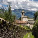
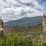
Straight after the bridge (elevation 222m), the route turns right (Via Pietro Giglio), between buildings which were once used as factories, and leads towards Castello on the crest, which you can reach by taking a pretty set of steps between the high walled fortifications.
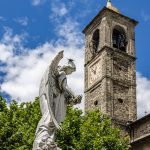
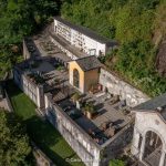
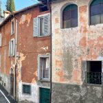
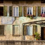
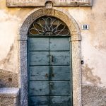
The Castello still maintains its medieval structure: narrow alleys, shady corners between buildings, rustic wooden doorways, nooks with water running out and stone walls. A square tower looms over the houses – a reminder of the ancient ‘castrum de Orezia’, which can be climbed to the top on summer weekends. Adjacent to it there is the church of S. Leonardo. You can leave Castello by the wash house which brings you out onto a tarmac road.
Afterwards you continue underneath the main road to Vestreno and walk to the ‘3 cypresses’ roundabout where the tunnel leading to the S.S.36 emerges. You continue straight along a slight descent on Via al Monastero (elevation 276m). Urban sprawl and the unrelenting motorway have disfigured the agricultural setting of this area, known as Chiari, which was once home to a monastery now transformed into a private residence.
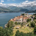
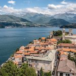
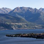
Having finally left the motorway behind, you can return to the peace and tranquillity of the lakeside landscape. The pathway is marked by two small stone walls which lead down towards Corenno, a picturesque lakeside settlement arranged around a castle.
You cross the road for a brief but highly recommended visit to the village: the castle and fortifications are private (and can only be visited on special occasions), but you can visit the church, see the great Andreani’s arches and perhaps continue down a few more steps to enjoy a beautiful view of the lake. After a brief visit, carry on by crossing back over the road and after following it for a short while, climb up and right along the old parallel mule-track (Via Maronasso) which soon reaches the chapel of the Andreani-Sormani family, decorated by a crucifix by G.B. Sertorio (1837).
Remaining on the shoreline just a short distance from the edge of the lake the mule-track continues past Corenno (elevation 305m) in which a few small houses are connected to the road (Via Pertini). This is nothing compared to the beauty of Mandonico that will be reached shortly.
