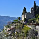
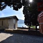
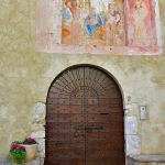
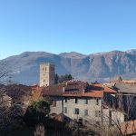
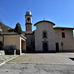
From the church of San Giorgio, the Via del Viandante (as indicated by the road signage) drops down towards Mandello del Lario, passing through a built-up area. However, the signs of our route follow a different path which passes above Mandello touching on Maggiana and Rongio and then crossing the deep gorge carved out by the Meria stream.
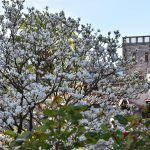
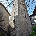
From San. Giorgio, the route named Via dei Rastelli appears as a stepped path which climbs upwards. After passing the motorway (elevation 295m) we keep the left and then immediately turn to the right along the path (and low walls) of an old route which soon arrives at the Zana cemetery. Then, the tarmacked road (left) leads to Maggiana (elevation 399m) where the Barbarossa tower can be found.
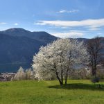
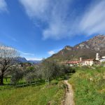
We leave Maggiana by Via V. Veneto in the Castle area: pay attention when you get to the last few houses. You have to follow the road which starts to climb up the mountain. When you reach a flat section, on the left there is a path which snakes off into the woods. This route climbs uphill for around 10 minutes. After passing a narrow valley, climb a little further and you will then come out among the meadows of the Rongio village (elevation 394m), which we can reach shortly afterward, overlooking the church square, which is named after St. James.
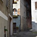
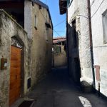
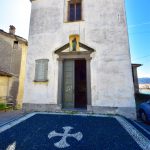
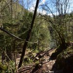
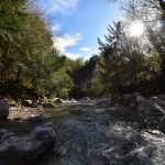
Then you walk through the narrow alleyways of Rongio until you reach the other side where you will find the small church of S.Antonio and a bar. Panels indicating partisan memory routes are to be noted. You will also see signs for the restaurant ‘Al Verde’ (steep downhill). Just before the restaurant, turn right down a untarmacked track and after around 250m, turn left down a path which drops downhill and then crosses the Meria stream (elevation 270m) over a natural bridge. Straight after, head back to the pathway up a steep slope to reach the edge of Sonvico, another small hamlet in Mandello.
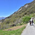
Having crossed the Val Meria, the route heads upwards to Sonvico (elevation 377m), the highest hamlet of Mandello, then it continues along Via Contrada and the Strada di San Bernardo, the cemetery and S.Bernardo chapel, perched on a grassy mound. At Sonvico, you can leave the path by walking down to Somana (5 minutes with the bus to Mandello) or Olcio (20 minutes; train station). The Sentiero del Viandante meanwhile continues upwards, on a tarmac section along Via ai Saioli. The rocks which now line the route are layers of limestone, known as ‘Sasso di Olcio’ (or ‘Olcio stone’), were used in the Duomo of Como construction.
Shortly after passing a pretty viewpoint looking over Olcio, clear orange arrows and the sign ‘Via Belvedere’ point you to a street on the left (which ends soon after) and then along a path which gradually drops down between wooded verges. You will pass by freshly planted olive groves and the Baita del Pino.
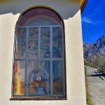
Then you will reach Galdano, with its meadows and a crossroads, furnished with a fountain and a wayside shrine with a representation of the Annunciation: the left-hand route leads to Olcio; the right one climbs up to Saioli and the Acqua del Gesso valley. Our route goes straight ahead, but be careful: after a short distance, you need to keep left with the motorway to your right, taking a paved road. In springtime, you can see large swathes of lesser periwinkle (vinca minor) along the road.
After the cliffs separating Olcio from Lierna, the path drops down towards Lierna, passing through its upstream hamlets.
Walk alongside the motorway past the Zia Berta holiday farm; you turn away from the road as the route returns to the meadows.
Next, you will reach the oratory of San Michele and the village of Sornico characterised by houses with decorated gates.
Leave Sornico we pass under a house, which brings you out into a tarmacked clearing – the first sign of the urban area of Lierna. Now continue down Via Sornico, between the cottages. The route takes you to the next road, Via Chignola, which also offers some remnants of rustic beauty. Further along, the path skirts around the abandoned seminary and then leads down its access road. The route drops leftwards and the next fork in the road, turn right towards Genico where you will arrive at another junction of the route, separating the high and low routes. If you want to end your walk here, a stairway (Via Genico) 50 meters ahead will take you towards the train station. You don’t need to go past the station to enter it: when you get close to the tracks, just turn right onto Via Parodi and access the station (elevation 212m) from the platforms.
Just after Genico there is a junction where you need to choose between the low route (to the left) or the high route (to the right).
